Wings Over the Fields
The Rise of Agricultural Drones and Their Role in Transforming Precision Farming
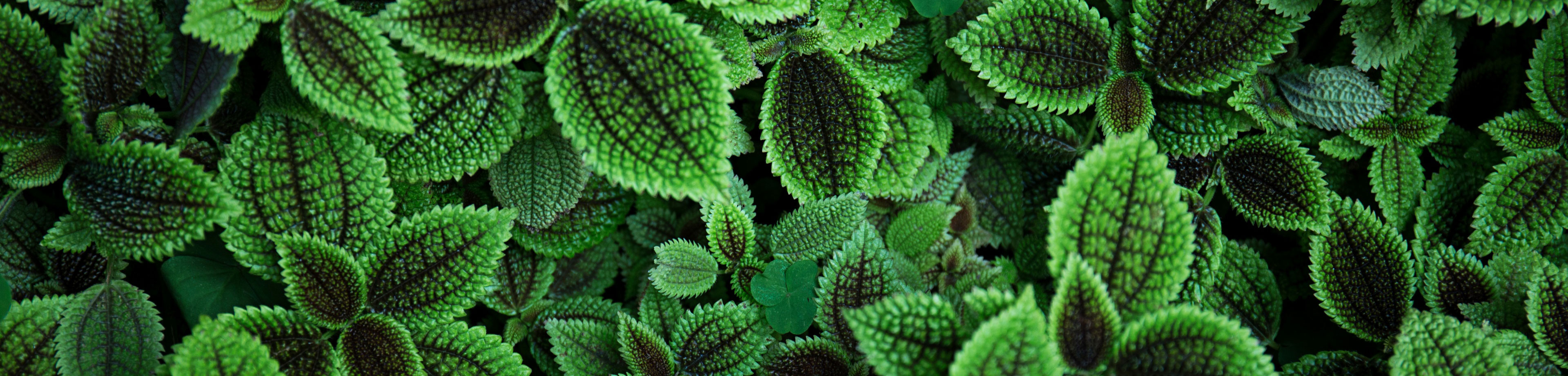
The Sky as a New Frontier for Agriculture
The relationship between technology and agriculture has always been a story of adaptation and transformation. From the invention of the plow to the modern tractor, every innovation has redefined the boundaries of productivity. Today, a new revolution is taking shape in the skies. Agricultural drones, once considered futuristic tools, are now integral to precision farming across the globe. These flying machines equipped with sensors, cameras, and data-processing systems are helping farmers see their land in ways that were once unimaginable. They represent the convergence of robotics, data science, and environmental management in service of a single goal: sustainable and efficient food production.
The appeal of agricultural drones lies in their ability to provide a bird’s-eye view of fields with unmatched precision. Instead of walking miles to inspect crops, farmers can now survey hundreds of hectares in minutes. Drones can detect variations in soil moisture, plant health, and pest infestations before they become visible to the human eye. This data-driven approach allows for timely interventions, reducing resource waste and improving yield. As the agricultural sector faces growing pressure from climate change, population growth, and limited natural resources, drones offer a path toward smarter, more adaptive farming systems.
A Brief History of Drone Technology in Agriculture
The story of agricultural drones begins with the broader history of unmanned aerial vehicles, which were initially developed for military reconnaissance. Over time, as technology became more affordable and accessible, researchers and innovators recognized its potential in civilian applications. In the early 2000s, drones equipped with basic cameras were used experimentally for crop surveillance. The first commercial models designed specifically for agriculture appeared in the following decade, coinciding with the rise of precision agriculture. These early systems were simple by today’s standards, but they opened the door to a new form of environmental monitoring that relied on aerial data rather than ground-level observation.
Advancements in GPS navigation, lightweight materials, and battery technology accelerated drone adoption across the agricultural industry. The integration of multispectral and hyperspectral imaging allowed drones to capture data beyond the visible spectrum, revealing information about plant stress, water content, and nutrient levels. Software capable of generating detailed maps and analytics transformed drones from mere flying cameras into powerful diagnostic tools. What was once experimental is now mainstream. Farmers, researchers, and agribusinesses worldwide use drones not only to monitor fields but to actively manage them through automated spraying, seeding, and real-time data collection.
Types of Agricultural Drones and Their Applications
Agricultural drones come in a variety of designs and configurations, each suited to specific farming tasks. Fixed-wing drones resemble small airplanes and are ideal for covering large areas quickly. Their aerodynamic design allows for long flight times and efficient data collection, making them useful for large-scale farms and topographical mapping. Multirotor drones, by contrast, are more agile and precise. They can hover, maneuver in tight spaces, and perform detailed inspections of specific areas such as orchards, vineyards, or greenhouses. Hybrid drones combine the endurance of fixed-wing designs with the flexibility of rotors, offering the best of both worlds.
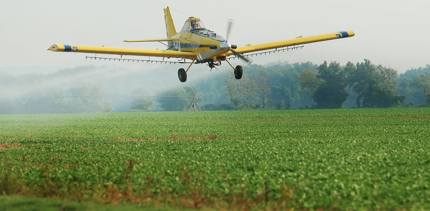
The applications of agricultural drones are diverse. One of the most common uses is aerial mapping, where drones capture high-resolution images to generate orthomosaic maps of farmland. These maps reveal subtle variations in crop health and soil condition. Drones are also employed in spraying operations, applying fertilizers, pesticides, or foliar nutrients evenly and efficiently. In some cases, drones are used for direct seeding, particularly in reforestation or cover crop projects. Beyond these practical applications, drones play a crucial role in research and development, collecting environmental data that informs climate modeling and sustainable land management practices.
Precision Agriculture and Data Analytics
The true power of agricultural drones lies in their ability to generate actionable data. Precision agriculture is built on the principle of managing variability within fields rather than treating them as uniform entities. Drones equipped with advanced sensors collect detailed information that allows farmers to understand exactly where intervention is needed. For example, a multispectral camera can detect subtle differences in chlorophyll levels, indicating early signs of nutrient deficiency. Thermal sensors measure canopy temperature to assess water stress, while LiDAR systems create three-dimensional models of terrain for better irrigation planning.
Once collected, this data is processed through analytical software that converts raw imagery into meaningful insights. Machine learning algorithms can identify patterns, predict outcomes, and even recommend specific actions. For instance, a system might suggest increasing nitrogen application in certain zones or adjusting irrigation based on evapotranspiration rates. This level of precision ensures that inputs such as water, fertilizers, and energy are used efficiently, reducing waste and environmental impact. Data-driven agriculture is no longer a luxury; it is an essential strategy for sustainability in a world where every resource counts.
Environmental Benefits of Drone-Assisted Farming
Beyond their technological sophistication, agricultural drones contribute significantly to environmental conservation. By allowing farmers to apply inputs only where necessary, drones help reduce chemical runoff and soil degradation. Targeted spraying minimizes pesticide exposure for non-target species, preserving beneficial insects and improving overall biodiversity. Similarly, precision irrigation based on drone data reduces water usage, helping conserve one of the planet’s most precious resources. Drones also assist in monitoring soil erosion, deforestation, and crop rotation patterns, contributing to better land stewardship.
In regions vulnerable to drought or flooding, drones play a key role in climate adaptation strategies. They provide early warning systems by identifying areas of water stress or excessive saturation. This information enables farmers to take preventive measures before conditions become critical. Drones also support reforestation and carbon sequestration efforts by planting trees in hard-to-reach areas and tracking their growth over time. In this way, drones not only enhance productivity but also help align agricultural practices with global sustainability goals. Their role extends beyond the farm to the broader ecosystem that sustains life.
Challenges and Limitations of Drone Implementation
Despite their potential, agricultural drones face several challenges that must be addressed for widespread adoption. Cost remains a significant barrier, especially for smallholder farmers in developing regions. While prices have dropped in recent years, the initial investment in equipment, software, and training can still be substantial. Regulatory restrictions also vary by country, affecting where and how drones can operate. Licensing, safety standards, and airspace management must be carefully navigated to ensure compliance. Weather conditions present another limitation, as drones are sensitive to wind, rain, and extreme temperatures, which can affect performance and reliability.
Data management poses additional complexities. The sheer volume of information collected by drones requires robust storage, processing, and cybersecurity measures. Farmers must also interpret this data effectively, which demands technical knowledge and access to reliable analytics platforms. Moreover, the integration of drones with other agricultural technologies, such as IoT sensors and autonomous tractors, remains an ongoing challenge. Without interoperability and user-friendly interfaces, the full potential of drone-assisted farming cannot be realized. Addressing these limitations requires coordinated efforts among governments, private industries, and educational institutions to build an inclusive framework for drone technology in agriculture.
Social and Economic Impacts on Farming Communities
The adoption of agricultural drones is reshaping the socioeconomic landscape of farming communities. By improving productivity and reducing labor demands, drones can enhance profitability and resilience for farmers. However, they also bring shifts in employment patterns and skill requirements. Traditional farm labor is gradually giving way to roles in data analysis, drone maintenance, and software management. This transformation calls for new educational initiatives and vocational training programs to prepare the next generation of farmers and technicians. Bridging the digital divide is crucial to ensure that technological progress benefits everyone, not just large-scale producers.
In developing countries, drone cooperatives are emerging as a solution to affordability barriers. Shared ownership models allow smallholders to access drone services without the full cost of ownership. Entrepreneurs and service providers operate fleets of drones that can be rented or contracted for specific tasks such as spraying or mapping. This approach democratizes access to technology and promotes community-level collaboration. As these networks expand, they create new economic opportunities and foster innovation in rural regions. Drones are thus becoming catalysts not only for agricultural modernization but also for social empowerment and rural development.
The Role of Artificial Intelligence and Machine Learning
The integration of artificial intelligence with drone technology represents the next frontier of agricultural innovation. AI algorithms process complex datasets to identify subtle patterns that would escape human observation. They can classify crop types, detect diseases, and forecast yields with remarkable accuracy. Machine learning enables systems to improve over time as they encounter new data, refining predictions and recommendations. When combined with autonomous flight technology, drones can execute entire missions independently, from data collection to targeted spraying, without direct human control.
AI also facilitates predictive agriculture, where data from drones, weather forecasts, and soil sensors converge to anticipate future challenges. For instance, an algorithm might predict a pest outbreak based on changes in vegetation patterns, allowing for early intervention. This predictive capability transforms farming from reactive management to proactive optimization. As AI and drone technology continue to merge, they will create agricultural systems that are not only efficient but adaptive and resilient, capable of learning from the environment and evolving with it. This represents the ultimate vision of intelligent agriculture, where innovation and nature work in synchrony.
The Future of Aerial Agriculture
The future of agricultural drones is filled with promise and possibility. As technology advances, drones will become more autonomous, affordable, and integrated into broader agricultural ecosystems. They will communicate seamlessly with ground-based robots, weather stations, and irrigation systems, forming interconnected networks that manage farms with unprecedented precision. The development of swarming drones capable of coordinating in real time will further enhance scalability, allowing large operations to be managed efficiently across vast territories. Battery technology, renewable energy, and lightweight materials will extend flight times and reduce environmental impact.
Beyond agriculture, drones will play a vital role in global food security and environmental restoration. They will assist in monitoring forest health, tracking wildlife, and restoring degraded lands. In humanitarian contexts, drones could deliver agricultural inputs to remote or disaster-affected regions, ensuring continuity of food production. The aerial revolution in farming is still unfolding, but its trajectory is clear. Drones are transforming agriculture into a field guided by intelligence, precision, and care. As they soar over fields and orchards, they embody a vision of harmony between innovation and nature, where the sky itself becomes a partner in cultivation and the foundation for a sustainable future.